ENVI Integration with ArcGIS® Pro
Connor McKissick
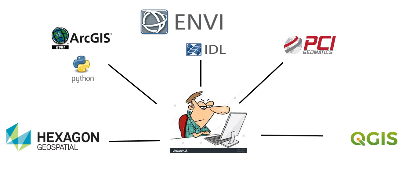
Working in the Geospatial Industry can be an exciting roller coaster when it comes to data formats, sensors types, and most importantly in my mind…software. I work with all sorts of imagery on a daily basis and have to constantly jump between different software packages to get the most accurate results. There are many software packages out there differing from vector analytics to raster analytics and everything in between and from LiDAR to UAV imagery support. Wouldn’t it be great have all the different types of tools you need in one environment? That way you wouldn’t have to jump from one application to another and worry about formats and data types? Well, we have developed the solution for you!

With the release of ENVI 5.5, NV5 has made it easier than ever to migrate our tools into your environment or application of choice. This blog focuses on our new ENVI for ArcGIS Pro integration. As Esri has encouraged its users to migrate to ArcGIS Pro with the connected desktop – NV5 Geospatial is right there along-side with our new ENVIpy and GSFpy for desktop and enterprise use.
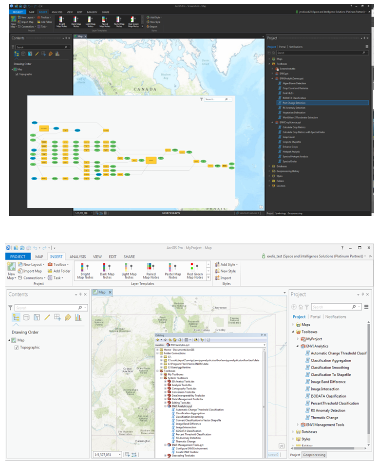
We have exposed more than 100 ENVI Tasks via ENVIpy and GSFpy to allow you as an Esri user to easily expose the science behind ENVI’s algorithms as simple Toolbox items to use within your GIS environment. Whether you would like to use pre-built “out of the box” workflows such as Port Change Detection or Vegetation Delineation, or build workflows yourself using ENVI’s new model builder (Modeler), you can – and it can easily be used and shared by anyone.

NV5 Geospatial has provided a Python client library named ENVIpy to run ENVI analytics through ArcMap and ArcGIS Pro. We have taken our ENVI Tasks and exposed them as Geoprocessing Tools so that you can easily pull them into your desktop environment or use them as Geoprocessing Services for your enterprise solution.
The installation is simple requiring only a pip install call from your Windows command prompt and active licenses of both ENVI and ArcGIS. From there you will have an ENVI Toolbox in your Arc environment that allows you to configure your environment and create custom ready-to-use tools.