GIS in the Rockies 2015: Presentation Preview
Anonym
I was really excited to learn recently that an abstract I submitted to GIS in the Rockies 2015 was accepted. So for today's blog I decided to give a sneak preview of the abstract titled "Today’s Vision: Tomorrow’s Reality".

Over the years, I’ve developed some extensive proof of concept workflows for customers, and some of the most intensive work has been around generating accuracy assessments of ground survey vs. airborne LiDAR to help determine if augmenting, or even in some cases substituting, an airborne survey is accurate enough to meet project requirements. These projects seem to be driven by the prospect of saving time. But the goal of time saved is not only to retain profit. It is also driven by the possibility of safety improvements and even in some cases accuracy improvement!
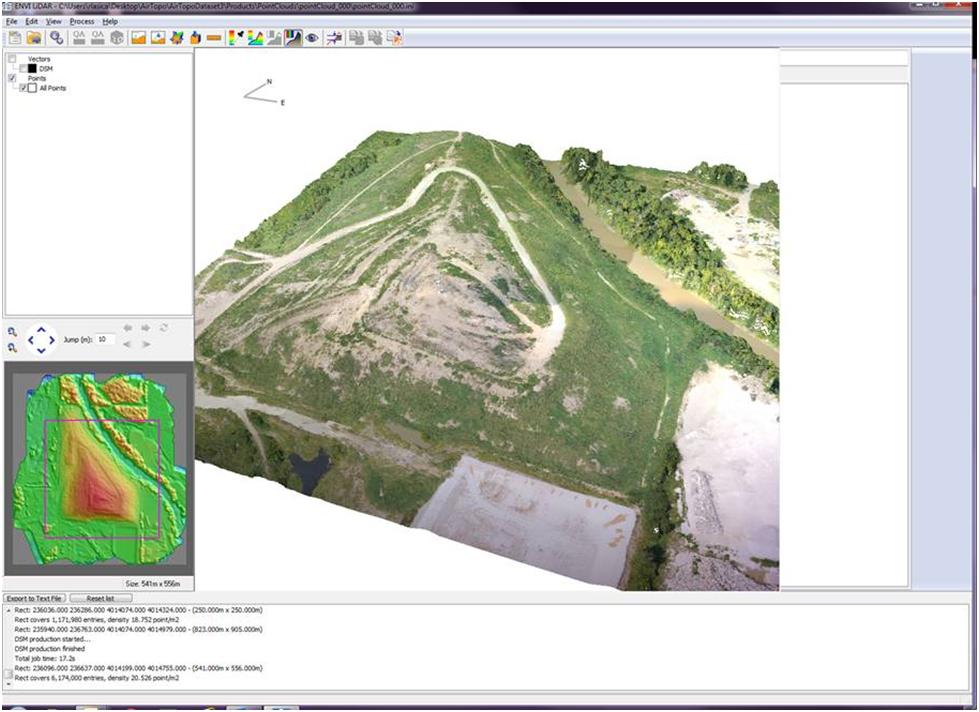
So what we’re going to look at is the surface that’s generated from the points in two different ways. First, we’ll take a look at the vertical comparison, and to do that we’ll compare survey acquired ground control points (GCPs) and the LiDAR-derived surface generated from the image overlap. From this process we can compute the error and we end up with a quantifiable method to assess the airborne survey vertical accuracy.
The second thing we’ll look at are the contour lines that are generated from the survey and comparing them to contour lines generated from the point cloud analysis. This will give us a good idea of qualitative horizontal accuracy. These metrics can be useful to determine if the airborne accuracy meets project specifications.
In my presentation I will be sure to discuss geoid correction, re-projecting the point cloud to the survey projection, and methods for volumetric analysis. I hope to see you September 23-24 in Denver for GIS in the Rockies!