Creating Image Tiles in ENVI
Anonym
I want to preview a new feature that will be available in the upcoming ENVI 6.0 release: a series of “Dice Raster” tools than can separate images into multiple tiles.
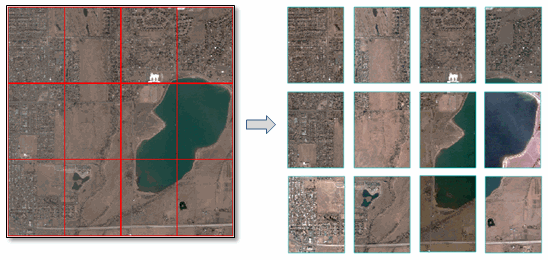
You will have four different options for specifying how to separate (or dice) images. The first is indicating how many tiles to create in the X and Y direction. For example, I diced the above image into four tiles in the X direction and three tiles in the Y direction, for a total of 12 tiles.
Another option is to create tiles based on linear distance. In this case, the image must be georeferenced to a standard or RPC map projection and you must know the units associated with the projection. The following example shows an image georeferenced to a UTM Zone 13N WGS-84 projection, split into tiles that are 1000 x 1000 meters.
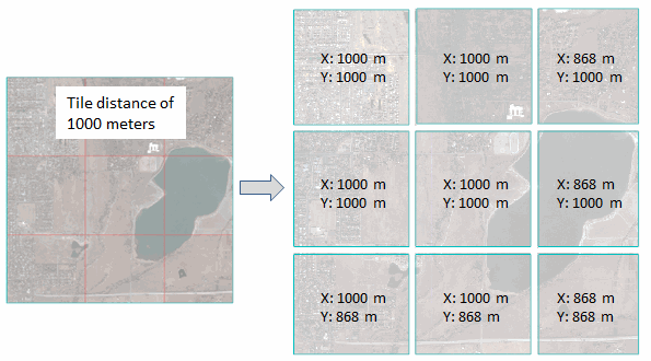
In most cases the tiles in the last row and column will be smaller than the specified distance, as this example shows.
Another option is to dice an image by a given number of pixels in the X and Y direction. This is similar to the tile distance option.
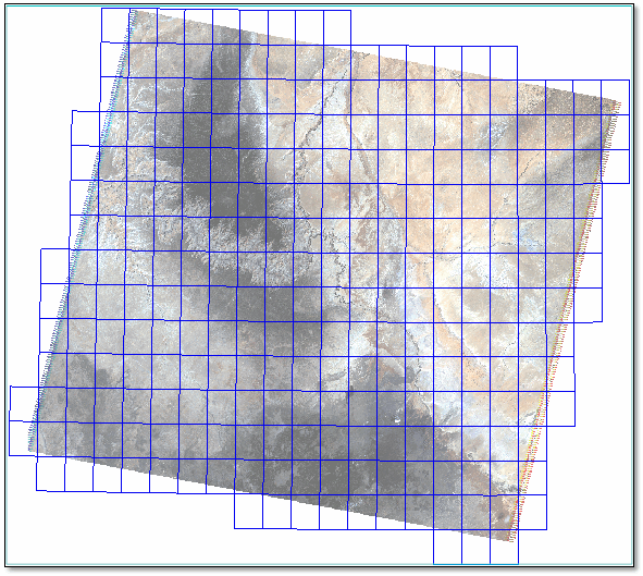
Finally, you can create image tiles based on the spatial extent of vector records in a shapefile. Here is an example of how you might use this feature. Let’s say you have a Landsat scene and you want to separate it into tiles that correspond to USGS 7.5-minute topographic quadrangles. This screen capture shows a Landsat TM scene of the Grand Canyon along with a shapefile of Arizona quadrangle map boundaries (available from Data.gov).
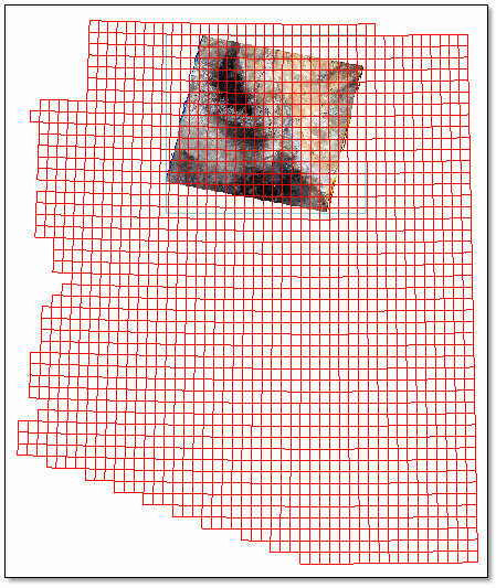
Since there are so many polygons in this shapefile, I created a vector subset of only the records that overlap the Landsat image. Open the Attribute Viewer, then click in the display to select the records that you want to keep. The Attribute Viewer highlights the selected records.
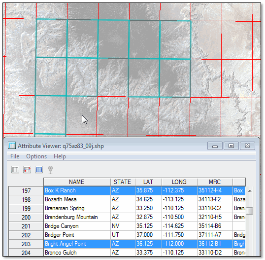
Then choose the File > Save Selected Records to a new Shapefile menu option. Now we have a shapefile that only contains quadrangle map boundaries around the Landsat scene.
Now we’re ready to create the tiles. The Dice Raster tools are available from the Toolbox under Raster Management > Raster Dicer. Use the Dice Raster by Vector tool to separate the Landsat image into separate tiles based on the quadrangle boundaries.
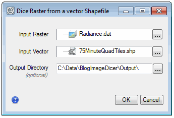
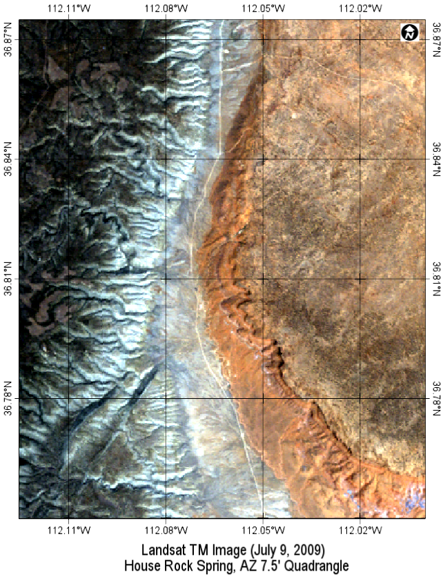
Since the shapefile had 270 polygon records, the Dice Raster tool will create 270 separate images. Here is one of the resulting image tiles that corresponds to the House Rock Springs Quadrangle boundary, displayed with map grid line annotations (also available in ENVI 6.0):
You can also use the Dice Raster tools, for example, to split an image of a large study area into smaller areas of analysis. They are just one of many versatile and easy-to-use features that will be available in the next release of ENVI.