Bridging the GIS - Remote Sensing Gap
Anonym
Geographic information systems (GIS) and remote sensing analysis both allow people to get information from geospatial data. When used together, they can provide unique insight into problems and help people make better decisions. However, as a result of these two geospatial technologies growing out of different historical backgrounds, many GIS analysts do not take advantage of them both, missing critical components to their analysis that could inevitably result in lost time and money.
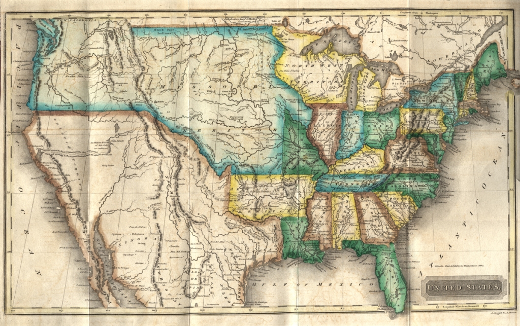
GIS grew out of traditional cartography. Development of GIS technologies in the latter half of the 20th century supported census counts, cadastral mapping, and other activities that involved the cartographic mapping of visible and non-visible features of the Earth. Physical features on the Earth such as rivers and roads as well as non-physical GIS features such as political boundaries, zoning maps, and property lines are well represented by the points, lines, and polygons that comprise the base of a GIS.
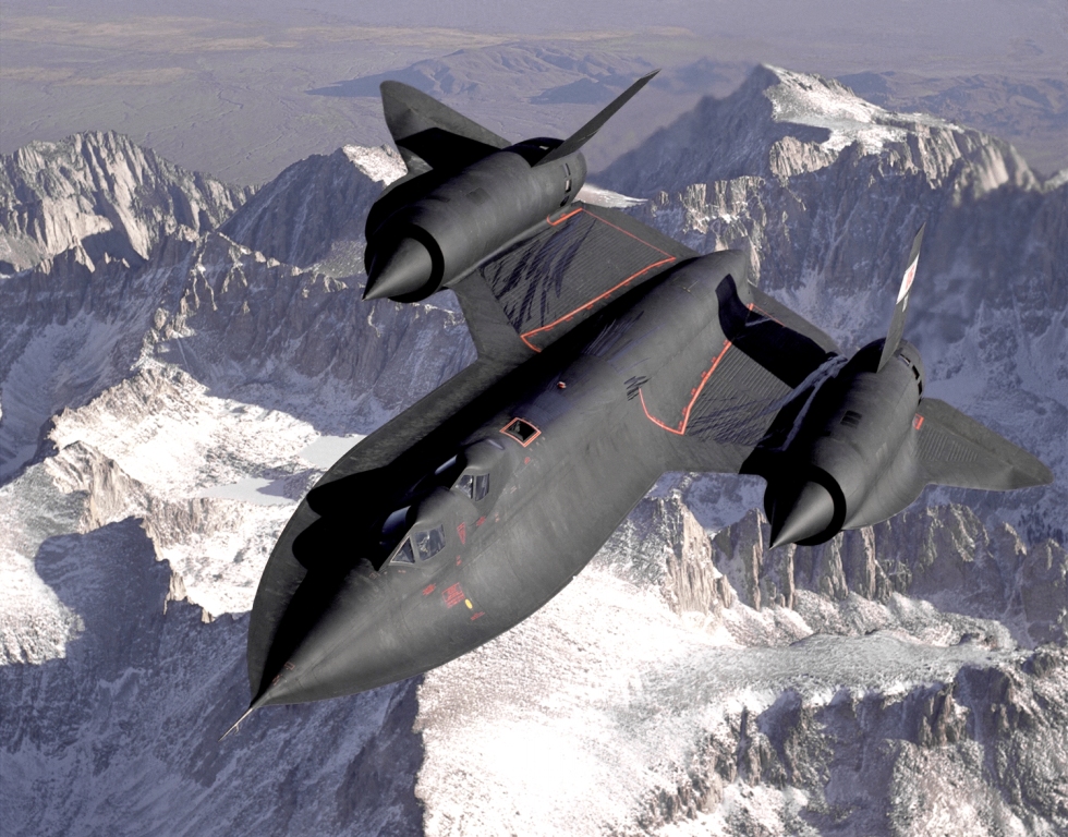
Remote sensing analysis, on the other hand, was born out of the military. Early reconnaissance aircraft such as the U2 and the SR-71Blackbird were used by the military to take photographs over enemy territory from extremely high altitudes. In the early days these aircraft used film, while the development of digital photographic capture soon meant that the satellites and aircraft could stream back digital images. These images could then be analyzed by software packages to locate and identify objects, map land use cover, extract features, and more.
Both GIS and remote sensing analysis grew as industries throughout the 80's, 90's, and into the new millennium. GIS saw growth across a number of commercial industries such as resource management and urban planning as well as within state and local government. Remote sensing saw growth within the military as well as within scientific agencies such as NASA and NOAA. As these industries matured, they grew closer together in terms of the problems they were solving and the technologies that were driving their adoption. However,the convergence of the two still hadn't fully occurred. Many in the GIS industry saw imagery as simply a backdrop for the vectorized representations of physical and non-physical objects.
Today, commercially available software is better poised to take advantage of the benefits afforded by both GIS and remote sensing analysis, and our partnership with Esri® is a good example of how that can work across different companies. ENVI for ArcGIS® embeds ENVI image analysis directly within the ArcGIS platform, which means that traditional GIS users can easily leverage image analytics for inclusion in their GIS database. This allows for fusion of information from different analyses or data modalities, improving the accuracy and expanding the knowledge base upon which decisions are made.
Similarly, ENVI is poised to take unique advantage of ArcGIS to assist the remote sensing analyst. Support for Esri formats and image services, inclusion of the Esri layout capabilities, and interface interoperability such as drag and drop between software packages and geo-linking of screens improves workflows that involve both packages and makes it easier to incorporate image analysis results into a more complete GIS.
As the GIS and remote sensing industries grow ever closer together, the ability to leverage the information derived using each technology is critical to having the most complete understanding of a project or problem. The partnership between Esri and NV5 (formerly Exelis) is a good example of how these two industries are bridging their historical gaps to create end-to-end solutions for both GIS and remote sensing analysts.