Terrain Characterization: Unveil Hidden Features
SAR’s phase component is invaluable for characterization of local terrain. By using overlapping SAR datasets with similar acquisition geometries, you can generate detailed Digital Surface Models (DSMs), which cannot be created with optical data alone.
Example Workflow:
DSM Creation: Using the SAR DSM Generation workflow in ENVI SAR Essentials, two overlapping Umbra scenes of Iran (Single Look Complex datasets) were processed. These scenes had ascending orbits, VV polarization, and similar incidence and azimuth angles.
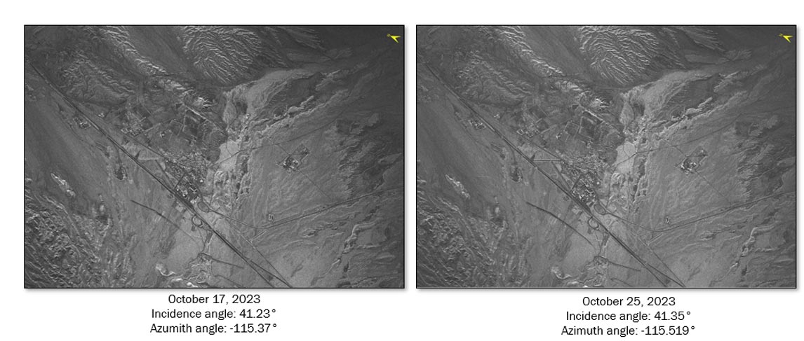
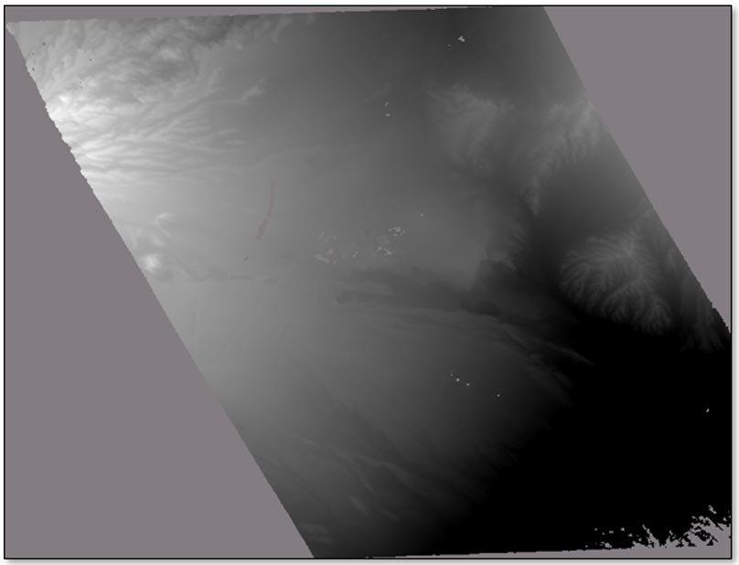
Resulting DSM:
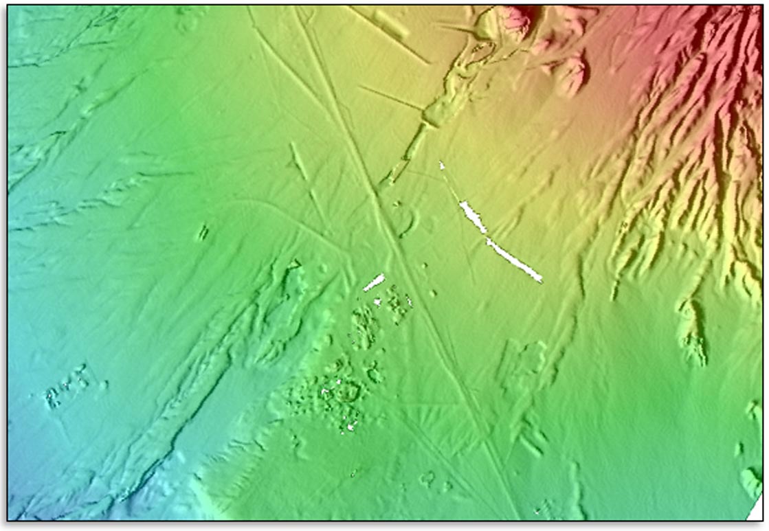
Topographic Shading:
The ENVI Topographic Shading tool was used to create a shaded-relief image from the DSM.
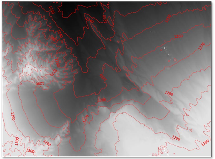
Contour Mapping:
Contour lines were plotted on the DSM for detailed terrain analysis.
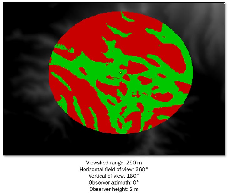
Viewshed Analysis:
Using the DSM with the Viewshed Tool, areas visible (green) and hidden (red) from a point atop a hill were revealed.
