X

NV5 Geospatial Blog

Each month, NV5 Geospatial posts new blog content across a variety of categories. Browse our latest posts below to learn about important geospatial information or use the search bar to find a specific topic or author. Stay informed of the latest blog posts, events, and technologies by joining our email list!


NV5 at ESA’s Living Planet Symposium 2025

NV5 at ESA’s Living Planet Symposium 2025

9/16/2025

We recently presented three cutting-edge research posters at the ESA Living Planet Symposium 2025 in Vienna, showcasing how NV5 technology and the ENVI® Ecosystem support innovation across ocean monitoring, mineral exploration, and disaster management. Explore each topic below and access the full posters to learn... Read More >

Monitor, Measure & Mitigate: Integrated Solutions for Geohazard Risk

Monitor, Measure & Mitigate: Integrated Solutions for Geohazard Risk

9/8/2025

Geohazards such as slope instability, erosion, settlement, or seepage pose ongoing risks to critical infrastructure. Roads, railways, pipelines, and utility corridors are especially vulnerable to these natural and human-influenced processes, which can evolve silently until sudden failure occurs. Traditional ground surveys provide only periodic... Read More >

Geo Sessions 2025: Geospatial Vision Beyond the Map

Geo Sessions 2025: Geospatial Vision Beyond the Map

8/5/2025

Lidar, SAR, and Spectral: Geospatial Innovation on the Horizon Last year, Geo Sessions brought together over 5,300 registrants from 159 countries, with attendees representing education, government agencies, consulting, and top geospatial companies like Esri, NOAA, Airbus, Planet, and USGS. At this year's Geo Sessions, NV5 is... Read More >

Not All Supernovae Are Created Equal: Rethinking the Universe’s Measuring Tools

Not All Supernovae Are Created Equal: Rethinking the Universe’s Measuring Tools

6/3/2025

Rethinking the Reliability of Type 1a Supernovae   How do astronomers measure the universe? It all starts with distance. From gauging the size of a galaxy to calculating how fast the universe is expanding, measuring cosmic distances is essential to understanding everything in the sky. For nearby stars, astronomers use... Read More >

Using LLMs To Research Remote Sensing Software: Helpful, but Incomplete

Using LLMs To Research Remote Sensing Software: Helpful, but Incomplete

5/26/2025

Whether you’re new to remote sensing or a seasoned expert, there is no doubt that large language models (LLMs) like OpenAI’s ChatGPT or Google’s Gemini can be incredibly useful in many aspects of research. From exploring the electromagnetic spectrum to creating object detection models using the latest deep learning... Read More >

1345678910Last
«September 2025»
SunMonTueWedThuFriSat
31123456
78910111213
14151617181920
21222324252627
2829301234
567891011
14599 Rate this article:
3.7

Extending your ENVI Analytic Capabilities for UAV Imagery

Anonym

As 2016 is off to the races, one of the many exciting happenings at NV5 Geospatial is the recent partnership with Icaros Geospatial and the addition of an Icaros OneButton™ Extension in ENVI. With over 1 million hobby drones sold during the holiday season, those capable of flying drones and the presence of UAS/UAV acquired data will only become more prevalent in the upcoming years. What that means for those providing analytic tools to make actionable information from the data is we need to find a way to work with the data and get accurate results. This is where Icaros comes into play.

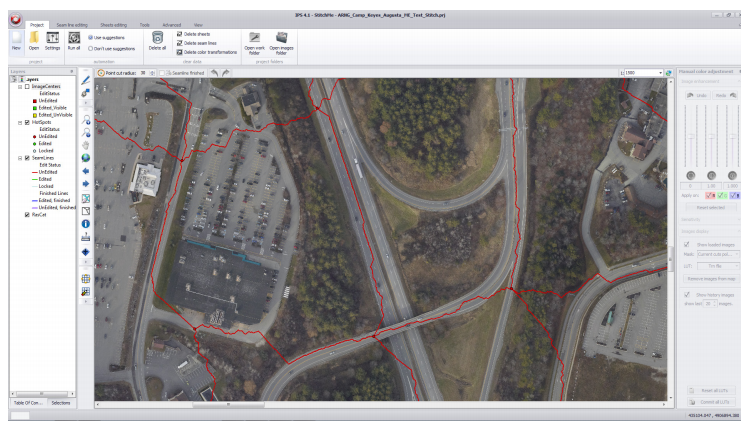
Icaros allows a user to do a variety of processing to their data sets including photogrammetric geocorrection, aerial triangulation, digital terrain modeling, and the key piece — orthomosaic production. They have options that range from "one button" where you simply click and run the processing to "one button pro" where you have more manual options to ensure accuracy and where you can do additional QC like replacing a bad scene from the mosaic. These capabilities bridge the gap between acquiring UAS/UAV data and actually being able to run analytics and provide answers in a timely fashion. On the other end of the spectrum, ENVI is able to bring not only post processing analytics, but tackle one of the huge problems facing UAS/UAV acquired data, data integrity from sensors and the ability to pre process the data and ensure bands are aligned before it is ingested in Icaros.

With the partnering of ENVI, you have an end-to-end solution for working with UAS/UAV acquired data. You have the ability to verify that data lines up and pre process if needed, easily ingest and stitch large swaths of data using Icaros One button, and then ingest the data into ENVI and work with it as you would satellite imagery.

Please login or register to post comments.