A Fresh Perspective is Everything!
Anonym
I remember the first time I ever saw a satellite image. It was a low resolution top-down view of a suburban neighborhood. I recall thinking, “Well this top-down view is something to get used to. It’s a little disorienting, but OK, I’ll go with it.”
Here I am several years later, completely comfortable contemplating perfectly nadir imagery for much of the day. So when I was fortunate enough to be asked to speak to a few local high school geography classes last week, I jumped at the opportunity. I was so taken by the students’ insights and enthusiasm that it reminded me that a fresh perspective on the world ensures that our future is in great hands! I am still processing the energy I gained from the experience, but I thought I’d share some of their great insights.
For example, check out the movie here and note the change in population over time.
Were you looking at the buildings and urban change? So was I! But the teacher (Mr. Hickory – a fabulous teacher btw) pointed out the changing shoreline of Lake Mead in the SE portion of the image. Do you know how many times I’ve seen this movie and never noticed that incredibly significant observation? (That’s a rhetorical question by the way.)
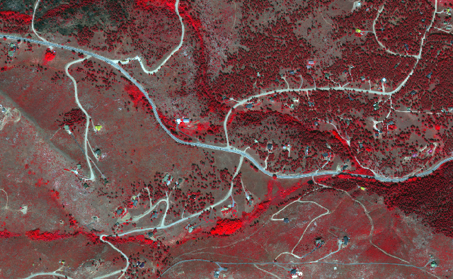
Also worth mention was the sheer wonder around loading different spectral bands into the display to exploit information in the wavelengths our eyes can’t see. That’s actually so significant and something I take for granted all the time! This link is for the student who was asking about a place to go online for some first-hand experience to view and manipulate some satellite images.
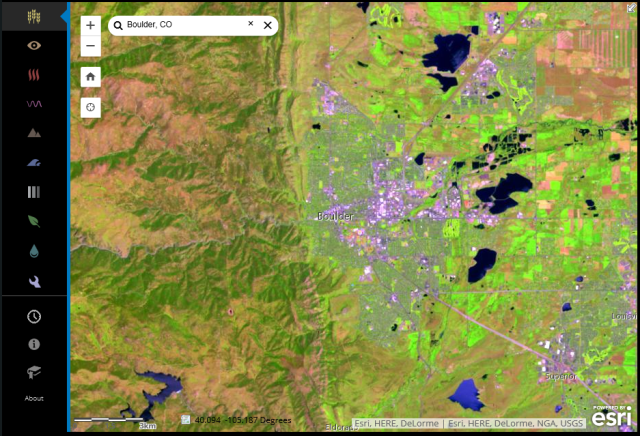
Interactive demo using Landsat imagery
I also really appreciated when a student asked if we could see satellites from Earth? Of course not! Satellites are exploiting reflected sunlight as input – how can you see things in space from here on Earth during the day? It didn’t occur to me to consider looking skyward at night. But when I went online later to get my brain around the question, not only did I discover my “um – duh” moment, but I also came across this really cool concept:
Digital Globe’s WorldView-3 satellite turned around and “looked through its legs” to capture images looking across the Earth’s surface as opposed to top-down. This might be one of the most outside the box ideas I would never have imagined. This concept is a revolutionary approach to Earth imaging, and a perfect example that looking at something familiar from a fresh perspective offers insights that would never be possible using traditional approaches.
I am grateful for the opportunity I had to share my experience, but even more so – the opportunity to be reminded that a fresh perspective is invaluable. That’s a lesson I hope to take with me going forward as I contemplate this wonderful industry of ours and what amazing things are to come when some of these young scholars (hopefully) join us in the next several years. Thanks for the experience!