Change Detection using Airbus WorldDEM™ and Elevation from Optical Imagery
Anonym
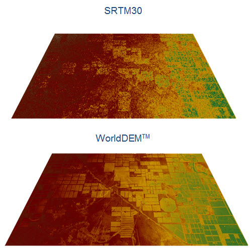
Airbus has recently released their WorldDEM™ product, which is a worldwide elevation product that has a better resolution than freely available elevation sources such as SRTM and GMTED. Accurate elevation information is important to conducting accurate analysis, because low resolution data can cause noise to appear especially when comparing datasets from two different time periods.
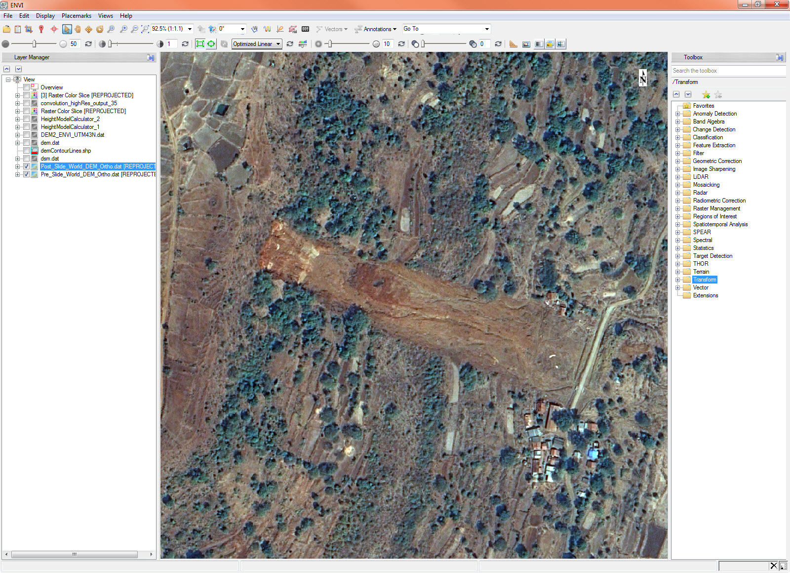
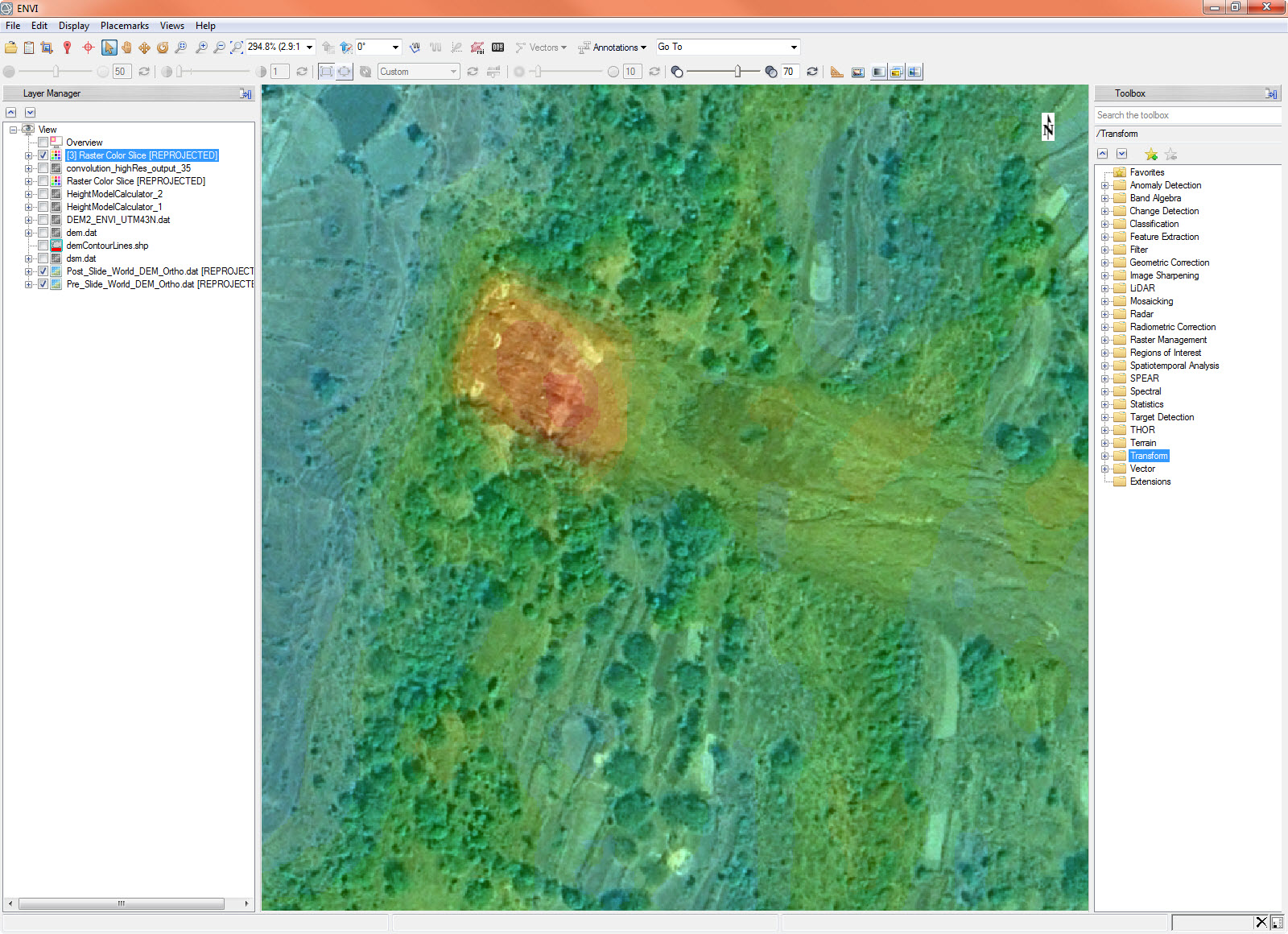
Below is an Airbus image taken after a landslide that occurred in Malin, India in 2014. I was able to retrieve a WorldDEM dataset over the area taken not too long before this landslide occurred.
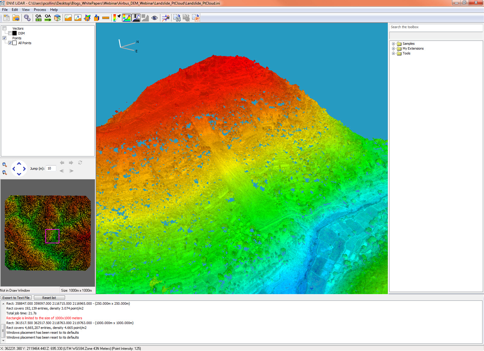
I also ordered two of the post-event images in order to extract a passive point cloud from the two datasets, which would allow me to extract extremely detailed elevation information over the area. This is important because it can be difficult to get information over a remote area that has experienced a disaster or inclement weather. Being able to extract one-to-one elevation information from a high resolution imaging satellite such as Pleiades makes it easy to get accurate information in this type of scenario. Here you can see the extracted point cloud.
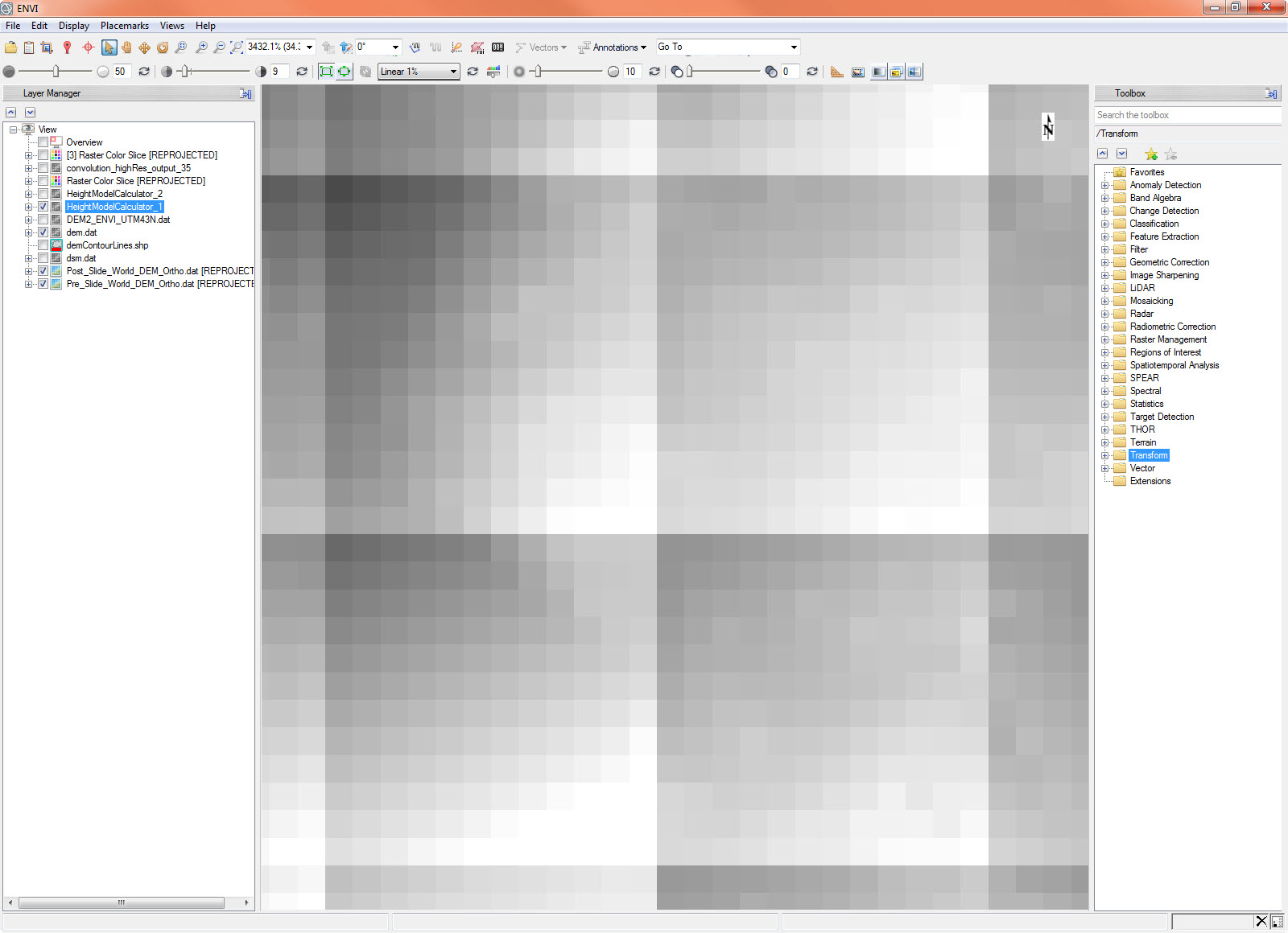
After extracting the Digital Elevation Model from the point cloud, I then subtracted the point-cloud generated DEM from the WorldDEM product to get an elevation change difference over the area. You can see from the image below that the resolution difference between the two elevation datasets has caused some anomalies to appear between the pixel sizes of the lower resolution dataset.
When we look at a color slice of this data we get the following.
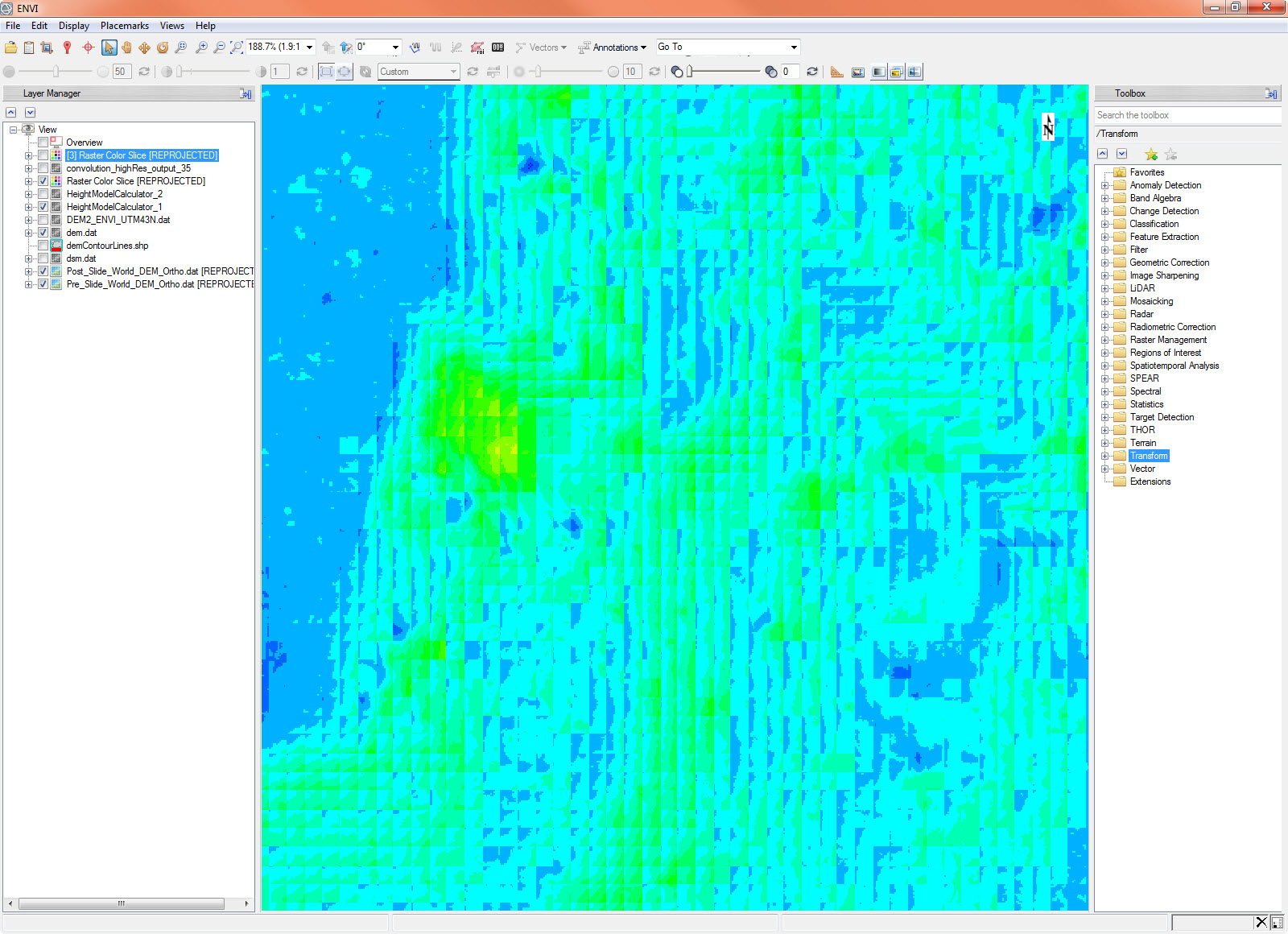
This doesn’t quite give us the accuracy we are looking for with our data, however we can use convolution filtering within ENVI to smooth this dataset into something a little more readable. After running a convolution filter with a thirty-five pixel size we are left with the following image.
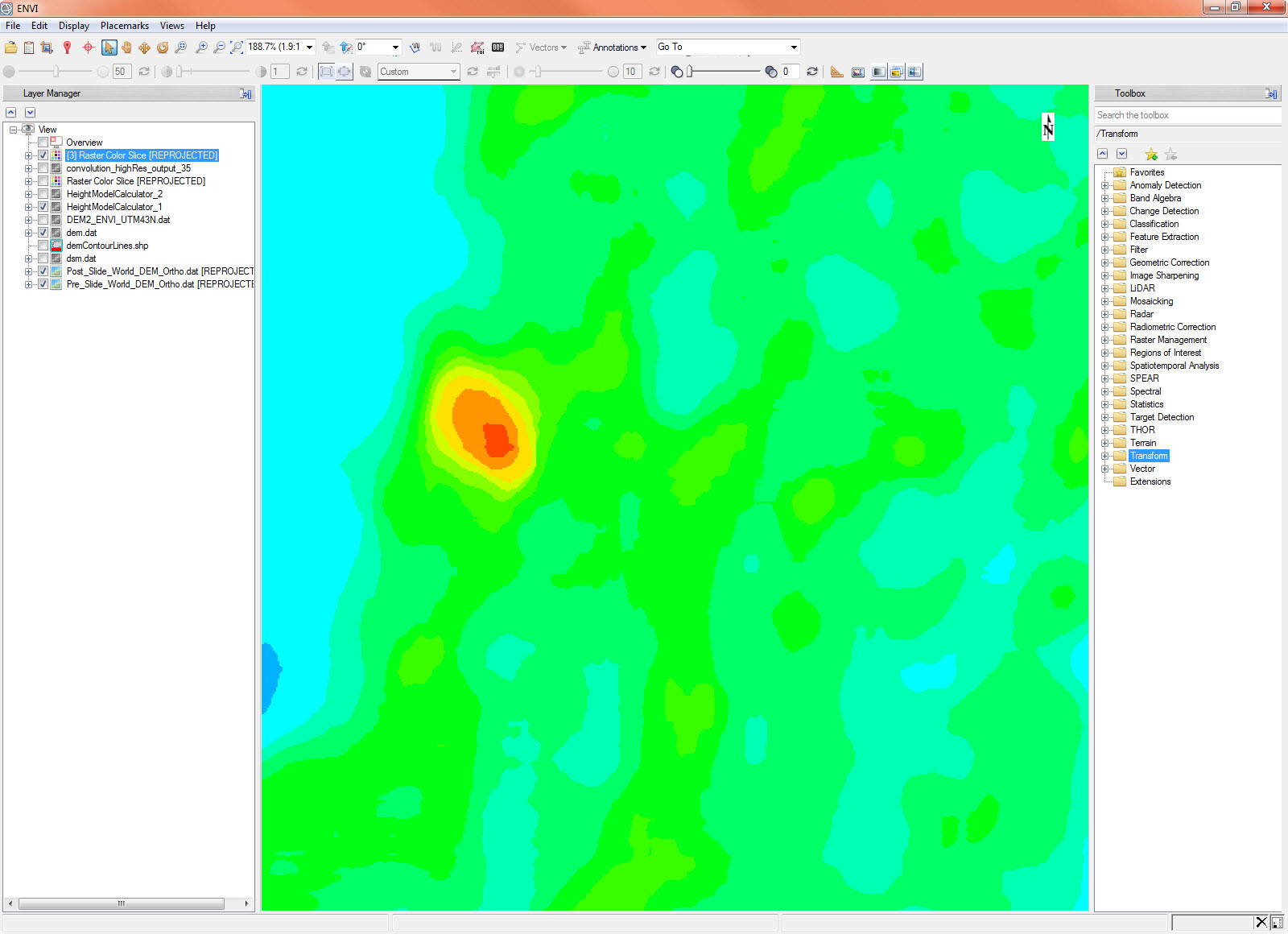
This final image shows how our elevation analysis has clearly captured the location of the landslide within this region. As mentioned before, the ability to capture and analyze extremely accurate elevation data from space allows government and other first responders the ability to quickly get important information about an area, even one that is remote or inaccessible.
For more information on WorldDEM and how high resolution elevation information can increase the accuracy of your analysis results, check out the joint Airbus / NV5 (formerly Harris) webinar, Make Better Geospatial Decisions with Accurate Elevation Information.