X

NV5 Geospatial Blog

Each month, NV5 Geospatial posts new blog content across a variety of categories. Browse our latest posts below to learn about important geospatial information or use the search bar to find a specific topic or author. Stay informed of the latest blog posts, events, and technologies by joining our email list!


Deploy, Share, Repeat: AI Meets the Analytics Repository

Deploy, Share, Repeat: AI Meets the Analytics Repository

10/13/2025

The upcoming release of ENVI® Deep Learning 4.0 makes it easier than ever to import, deploy, and share AI models, including industry-standard ONNX models, using the integrated Analytics Repository. Whether you're building deep learning models in PyTorch, TensorFlow, or using ENVI’s native model creation tools, ENVI... Read More >

Blazing a trail: SaraniaSat-led Team Shapes the Future of Space-Based Analytics

Blazing a trail: SaraniaSat-led Team Shapes the Future of Space-Based Analytics

10/13/2025

On July 24, 2025, a unique international partnership of SaraniaSat, NV5 Geospatial Software, BruhnBruhn Innovation (BBI), Netnod, and Hewlett Packard Enterprise (HPE) achieved something unprecedented: a true demonstration of cloud-native computing onboard the International Space Station (ISS) (Fig. 1). Figure 1. Hewlett... Read More >

NV5 at ESA’s Living Planet Symposium 2025

NV5 at ESA’s Living Planet Symposium 2025

9/16/2025

We recently presented three cutting-edge research posters at the ESA Living Planet Symposium 2025 in Vienna, showcasing how NV5 technology and the ENVI® Ecosystem support innovation across ocean monitoring, mineral exploration, and disaster management. Explore each topic below and access the full posters to learn... Read More >

Monitor, Measure & Mitigate: Integrated Solutions for Geohazard Risk

Monitor, Measure & Mitigate: Integrated Solutions for Geohazard Risk

9/8/2025

Geohazards such as slope instability, erosion, settlement, or seepage pose ongoing risks to critical infrastructure. Roads, railways, pipelines, and utility corridors are especially vulnerable to these natural and human-influenced processes, which can evolve silently until sudden failure occurs. Traditional ground surveys provide only periodic... Read More >

Geo Sessions 2025: Geospatial Vision Beyond the Map

Geo Sessions 2025: Geospatial Vision Beyond the Map

8/5/2025

Lidar, SAR, and Spectral: Geospatial Innovation on the Horizon Last year, Geo Sessions brought together over 5,300 registrants from 159 countries, with attendees representing education, government agencies, consulting, and top geospatial companies like Esri, NOAA, Airbus, Planet, and USGS. At this year's Geo Sessions, NV5 is... Read More >

1345678910Last
«October 2025»
SunMonTueWedThuFriSat
2829301234
567891011
12131415161718
19202122232425
2627282930311
2345678
14023 Rate this article:
3.0

Computer Based Training

Anonym

Several months ago I published a short blog detailing our new online training option known as computer based training (CBT). Since many companies are dealing with tighter travel budgets, we decided to start offering training on the latest and greatest innovations in the ENVI and IDL product lines from the comfort of your office or home. While nothing can replace having an extremely knowledgeable instructor right there for hands on help, CBT's allow users to take a wide variety of training courses from anywhere with an internet connection (if you will be without an internet connection these CBT's can be saved to disk). This will save you countless hours of travel as well as the time it takes to sift through material you may not need. Since our CBTs are short modules, you'll have the flexibility to pick and choose what you want to explore. The training gives you the flexibility to quickly hone and learn that skills you need for the task at hand.

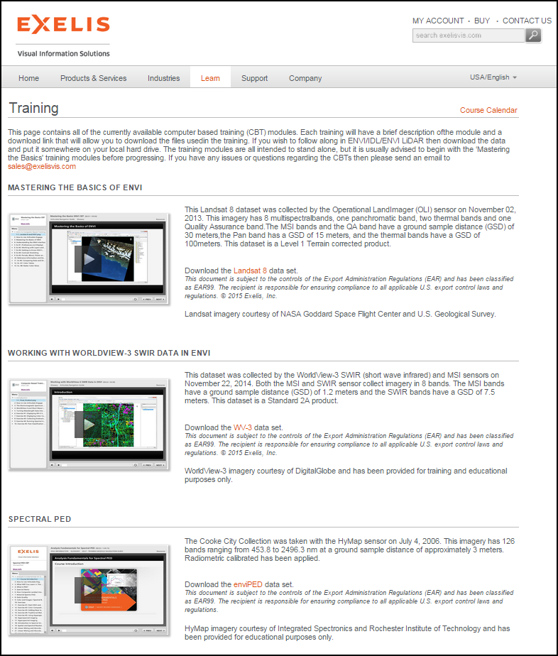
Currently we have three CBT's on our training page that can be found here. The first training is great for those of you that are new to ENVI software and remote sensing in general. Once you have gotten yourself acquainted with the basics of the application, the next two CBT's offer more comprehensive trainings and discussions on important topics: Working with SWIR data; and, identifying and detecting materials using Hyperspectral Imagery. 

The only thing required to access this online training is a login to the exelisvis.com website. Once you have received this login you will be ready to start training! In order to make the training more applicable to the real world, we provide a training dataset for each CBT so if you have an ENVI license you can follow along with the CBT step-by-step. We are constantly updating the CBT page with new training modules, so be sure to check back regularly to see if there is a topic pertinent to your workflow, or if you are just curious about how to work with a certain data type within ENVI/IDL.

As always please do not hesitate to shoot me questions or comments at mhallas@harris.com.


Please login or register to post comments.