ENVI as an ELT: New Report Generation Tool and Enhanced Annotations
Jeff Hildebrandt
What happens after a GEOINT analyst has completed all their exploitation and analysis? The newly derived information must be presented in an approved format in order for Joint Force Commanders (JFCs) and decision makers to act on it. Every GEOINT analyst knows that presentation is key.
Even the best information or intelligence, when not presented well, can lose credence – in which case it will likely not be received well, nor spark interest or trigger the appropriate responses. The problem is, of course, that transforming information into an approved and presentable intelligence report format requires additional time – time that may not be available especially in a combat environment when lives are at stake.
Fortunately, solutions are now available in ENVI®. As a leader in the geospatial industry and a DoD mission partner, NV5 Geospatial understands the importance of supporting analysts. That is why we have created a new Report Generation Tool and Enhanced Annotation Tool. These tools greatly improve the presentation quality and accuracy of intelligence reports.
The Report Generation Tool allows GEOINT analysts to quickly export information and analysis from ENVI into the approved DoD briefing template in PowerPoint – with four or less mouse clicks! Using the Report Generation Tool, GEOINT analysts can take advantage of many easy-to-use features that have been automated to improve quality, save time, and eliminate errors. These features include:
- Automated north arrow based on the orientation of the data
- Automated geographic and MGRS grid coordinates centered on the image
- Automated slide/product title based on data source
- Place holders for classification markings
- Place holder for unit logo
- Automated date of information and date of production
- Place holder for data source
- Automated slide/page number
- Automated reference map
- Modifiable comment box
- Modifiable texts and feature labels
- Ability to easily modify and save new templates tailored to specific unit or mission requirements
- Ability to add to new or existing PowerPoint presentation
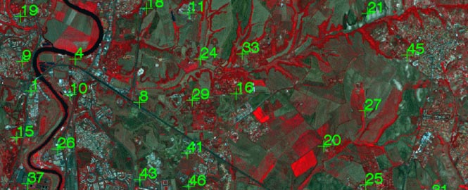
As the name suggests, the Enhanced Annotations Tool greatly improves the visualization of text and symbols in ENVI and PowerPoint after export. Keeping the importance of presentation in mind, NV5 Geospatial created the Enhanced Annotations Tools to allow GEOINT analysts to highlight important information in their analysis and showcase their work. This tool ensures critical information is not overlooked in intelligence reports.
GEOINT analysts have three options to display text and symbols:
- Without Background or Outline: “None”
- With full Background (adjustable transparency): “Full”
- With Outline and no Background: “Outline”
With just a few mouse clicks, text and symbol properties can be changed to fit the needs of the users. Some GEOINT analysts may choose property settings consistent with those outlined in military standards (MIL-STD 2525D) while others may prefer settings that contrast the background data for better viewing. Regardless of preferences, changing text and symbol property settings can be done in quick fashion.
The functionality and ease-of-use of the new Report Generation and Enhanced Annotation tools are just a couple reason why ENVI is so commonly chosen by analysts. For more information, I encourage you to view these two additional blogs:

JAGWIRE OVERVIEW
Jagwire delivers critical intelligence to the field.
WEBINAR
Actionable geospatial intelligence for Defense and Security applications.

D&I SOLUTIONS
NV5 offers custom and off-the-shelf D&I solutions.