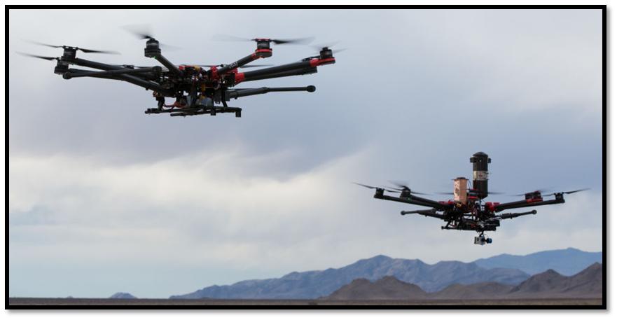
New Rules for Small Unmanned Aerial Vehicles for Commercial Segment
Anonym
The Federal Aviation Administration’s (FAA) announcement last week was welcomed news for the U.S. Commercial Unmanned Aerial Vehicle (UAV) market. On February 15, the FAA released proposed rule changes. The key components of the new proposed rules include keeping UAV’s well clear of other aircraft and mitigating the risk to people and property on the ground.
Prior to the Proposed Ruling this week exemptions were required, were lengthy and they were strict. For example, On January 5, Douglas Trudeau became the first Realtor to obtain an FAA exception to fly an unmanned vehicle to capture video of houses for sale, but he was required to follow 33 detailed restrictions laid out in a 26-page letter.
Legally flying a UAV requires the user to have a regular pilot’s license , pass an aviation medical check up, be assisted by a spotter, request permission two days in advance, and limit flights to less than 35 mph and below 300 feet.
Key takeaways of new FAA proposal
- UAVs weighing up to 55 pounds would be allowed to fly within visual line of sight of operators during daylight hours without the need of a Certificate of Authorization (COA).
- The UAVs must stay below 500 feet in the air and fly less than 100 miles per hour.
- The UAVs must be registered.
- Operators who are flying UAVs would need to be at least 17 years old, pass an aeronautics test, and take additional tests every two years.
- Not allowed to fly over people who are not directly involved in the operation.
- The proposed rule does not allow the commercial carriage of cargo, prohibiting package delivery from AMAZON.
What does this mean?
In addition to the mentioned key components of the new proposed rules of safety, the proposed new ruling is opening the doors to commercial markets. The following are a few examples of possible small Unmanned Aerial System (UAS) operations that could be conducted under this proposed outline:
- Crop monitoring & inspection
- Power-line & pipeline inspection
- Emergency response
- Aerial photography
- Wildlife evaluations
The industry is expanding and only limited by our imaginations
It is exciting where the UAV market is heading! We often see and hear about UAV’s snapping pictures and acquiring video. In addition to traditional RGB sensors used in consumer cameras, there are infrared, thermal, Ladar/LiDAR and hyper-spectral, including a host of other types of sensors providing information that the naked eye cannot see. As this industry continues to move forward, I suspect that similar to the defense industry, there can and will be vast amounts of data collected requiring management, dissemination and processing solutions. Hence, there is a need for a content management and dissemination system.
There is the obvious desire for real-time awareness pertaining to disaster response and news media coverage. In addition to real-time response, I believe there is a requirement for a content management system to archive data for historical trending and post processing to yield actionable information.