Sense and Avoid
Situational Awareness for small UAVS (sUAV)
Anonym
When I hear situational awareness (SA), I automatically think of Jagwire™ given that I have worked on this product from its inception. It is a geospatial data collection, management and dissemination system providing SA primarily for the warfighter and now reaching new markets.
As a participant at the AUVSI show in May, a different form of a SA system piqued my interest, that being sense-and-avoid (SAA) also referred to as detect-and-avoid (DAA). Aircraft can collect data providing situational awareness to various users and the pilots of the aircraft themselves need an understanding of their SA to prevent collisions. This is where sense and avoid systems come into play.
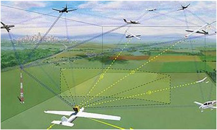
Photo courtesy of SKYTECH
Just prior to the show, colleagues from another division of our company launched Symphony RangeVue, an airspace situational awareness tool designed for unmanned aerial system (UAS) operations in the U.S. It can be used as a sense-and-avoid addition to UAS ground control stations having flexible geo-fencing tools to alert operators when a UAV approaches airspace boundaries or when other aircraft are in the vicinity.
What is SAA/DAA?
The names are self-describing, sense or detect an object around the aircraft such as other aircraft and natural threats like birds and avoid to prevent airborne collisions. UAVs need to be able to react to each other and with their surroundings. The technologies to create these SAA systems exist and there are systems being developed and tested for large unmanned vehicles used by the Air Force and Army. However, it is the integration and the size, weight and power (SWAP) of small-unmanned aerial vehicles (sUAV) that are proving to be challenging. Unlike traditional aircraft and larger UAVs, lower altitudes and speed are contributing factors too.
Why is it important?
Besides the obvious of safety, in order to have commercial UAVs fully integrated into the National Airspace System (NAS), the FAA must certify a sense-and-avoid system, which provides airborne collision avoidance capability. This year, the FAA has made it easier for the first small commercial UAVs to share the NAS (section 333 FAA Modernization and Reform Act). Furthermore, they have established an interim policy to speed up airspace authorizations for certain commercial unmanned aircraft operators who obtain Section 333 exemptions.
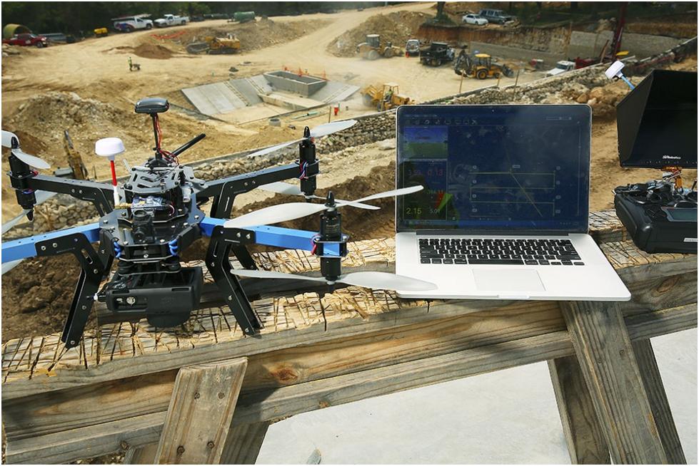
Photo courtesy of 3DR - FAA granted Section 333 authorization for commercial use of 3DR drones
Section 333 exemption holders automatically receive a “blanket”200 foot Certificate of Authorization (COA) and abide by a set of flight restrictions such as being within visual line of sight (VLOS). The details and can be found on the FAA website. This is a big step forward for this rapidly evolving technology and industry. You might be asking, “Does this mean Amazon will be delivering our packages via a quad copter”? Not yet and not likely, anytime soon.
The technologies and challenges
In order to see aircraft as well as wildlife, many sense-and-avoid systems use a mix of sensors: cameras detecting both visible and infrared, radar, LiDAR, including traffic collision avoidance system (TCAS) and automatic dependent surveillance-broadcast (ADS-B). Not all aircraft are equipped with TCAS and ADS-B systems and only detect other aircraft with a corresponding transceiver or transponder.
Manual sense and avoid relays the information to the UAV pilot. The sense and avoid technology has to be small and light in weight for sUAVs, which poses a challenge. Sufficient payload capabilities, its size and weight, need consideration if using traditional methods such as radar for the detection of other aircraft. In addition, the speed of the small UAV is typically slower than other aircraft. To identify aircraft travelling at faster speeds requires a much quicker reaction time from sense and avoid technology in order to avoid collisions. Further complexities are the power consumption and battery life of UAVs, as well as the need for the technology to operate indifferent weather conditions.
The UAV industry is rapidly evolving on many fronts. For example, DJI's recent announcement of the first guidance system, a sense and avoid hardware addition. A combination of ultrasonic sensors and stereo cameras allows the UAV to detect objects up to 65 feet away and keep the aircraft at a preconfigured distance. The guidance system works with DJI's new Matrice 100 UAV.
Photo courtesy of DJI: DJI’sGuidance and the Matrice 100 UAV with the Guidance
Down the road…
This exciting new industry is still young with incredible growth and possibility ahead. Once the hurdles of safety and reliability are solved, it will open the door to allowing UAVs to share the airspace and become used for a wider range of purposes other than monitoring crops fields, utilities and the like.